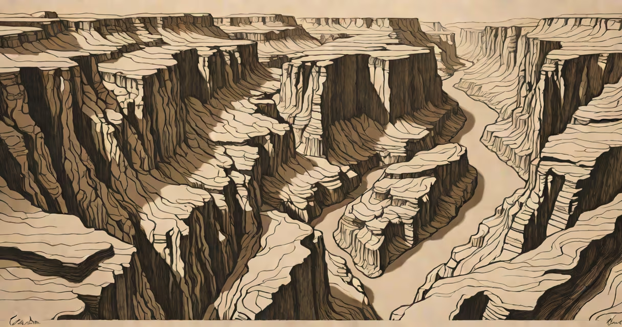
Canyons deepen through prolonged erosion by rivers combined with slow tectonic uplift that raises the land, maintaining steep gradients that accelerate water's cutting power over millions of years. This process explains formations like the Grand Canyon, where the Colorado River carved through 1.2 billion years of rock layers.
Rivers are the primary sculptors of canyons. Water flowing over rock dissolves minerals and carries away sediment, wearing down bedrock through abrasion and hydraulic action. The rate of erosion increases with water volume and velocity. In arid regions, infrequent but intense rainfall leads to flash floods that deliver concentrated erosive force, accelerating canyon widening and deepening.
Tectonic uplift plays a critical role. As tectonic plates push land upward, rivers maintain their gradient by cutting deeper into the rising terrain. Without uplift, rivers would level off and stop eroding. But in places like the Colorado Plateau, uplift occurred at about 1 millimeter per year over 7 million years, allowing the Colorado River to keep cutting downward even as the land rose.
The Grand Canyon illustrates this changing. Geologists estimate the river began carving the canyon around 5 to 6 million years ago. The rock layers exposed-from the Vishnu Schist at the bottom to the Kaibab Limestone at the rim-reveal a timeline of deposition and uplift. Each layer represents a different geologic period, and the river's path through them shows how long-term vertical erosion preserves Earth's history in stone.
| Process | Role in Deepening | Time Scale |
|---|---|---|
| River erosion | Removes material via abrasion and dissolution | Millions of years |
| Tectonic uplift | Raises land, sustaining river gradient | 0.1-1 mm/year over eons |
| Weathering | Breaks down rock at surface, feeding rivers | Continuous, accelerated by freeze-thaw cycles |
Not all deep valleys are canyons. A canyon requires steep, narrow walls formed by persistent water flow. Valleys shaped by glaciers, like Yosemite's, have U-shaped profiles and rounded features-distinct from the V-shaped cross-sections of river-carved canyons. Confusing glacial troughs with fluvial canyons misrepresents the dominant force behind the landform.
A common misconception is that canyons form quickly. Some media portray canyon creation in days or weeks due to sudden floods. While flash floods can rapidly widen canyons, deepening requires sustained flow over time. The Grand Canyon's depth-over 1.6 kilometers-could not result from short-term events. It demands continuous erosion under stable conditions.
One non-obvious fact: the deepest parts of a canyon often form where the river's gradient is steepest. This happens not at the river's mouth but upstream, where uplift concentrates energy. In the Grand Canyon, the most dramatic incision occurs near the headwaters, where the river drops sharply. This contradicts the idea that erosion is strongest at the lowest point.
For example, the Colorado River's average drop is 1.2 meters per kilometer in the inner gorge. Over 6 million years, that slope maintained enough energy to cut through hard sandstone and shale. Calculations show that at this rate, the river removed roughly 1.5 cubic kilometers of rock annually during peak flow periods. That's equivalent to moving 600 million dump trucks of material-enough to fill the Empire State Building 1,200 times.
I once stood at the edge of the Grand Canyon's North Rim, watching the river wind through the red rock. The scale defied immediate comprehension. But measuring the distance from rim to riverbed-about 1,600 meters-and knowing the river had carved that depth over 6 million years gave me a clearer picture. The process wasn't dramatic or sudden. It was quiet, steady, and relentless.
Geological models confirm that canyon deepening is not linear. Erosion rates fluctuate with climate shifts. During wetter periods, increased runoff boosts cutting. Drier phases slow it. The Grand Canyon's formation reflects multiple phases of uplift and erosion, not a single event. Research from the U.S. Geological Survey shows that uplift pulses occurred in bursts, not steadily, influencing how fast the river could cut.
Another key insight: rock hardness affects erosion speed. Harder rocks like quartzite resist wear, leading to overhangs and ledges. Softer rocks like shale erode faster, creating benches and terraces. These differences create the stepped appearance seen in canyon walls. The Grand Canyon's layers alternate between resistant and weak strata, producing the iconic tiered look.
Understanding how this canyon deep involves recognizing both the visible and invisible forces. Surface water moves sediment. Underground water weakens rock through chemical weathering. Ice wedging fractures rock in cold climates. All contribute, but river flow remains the dominant agent.